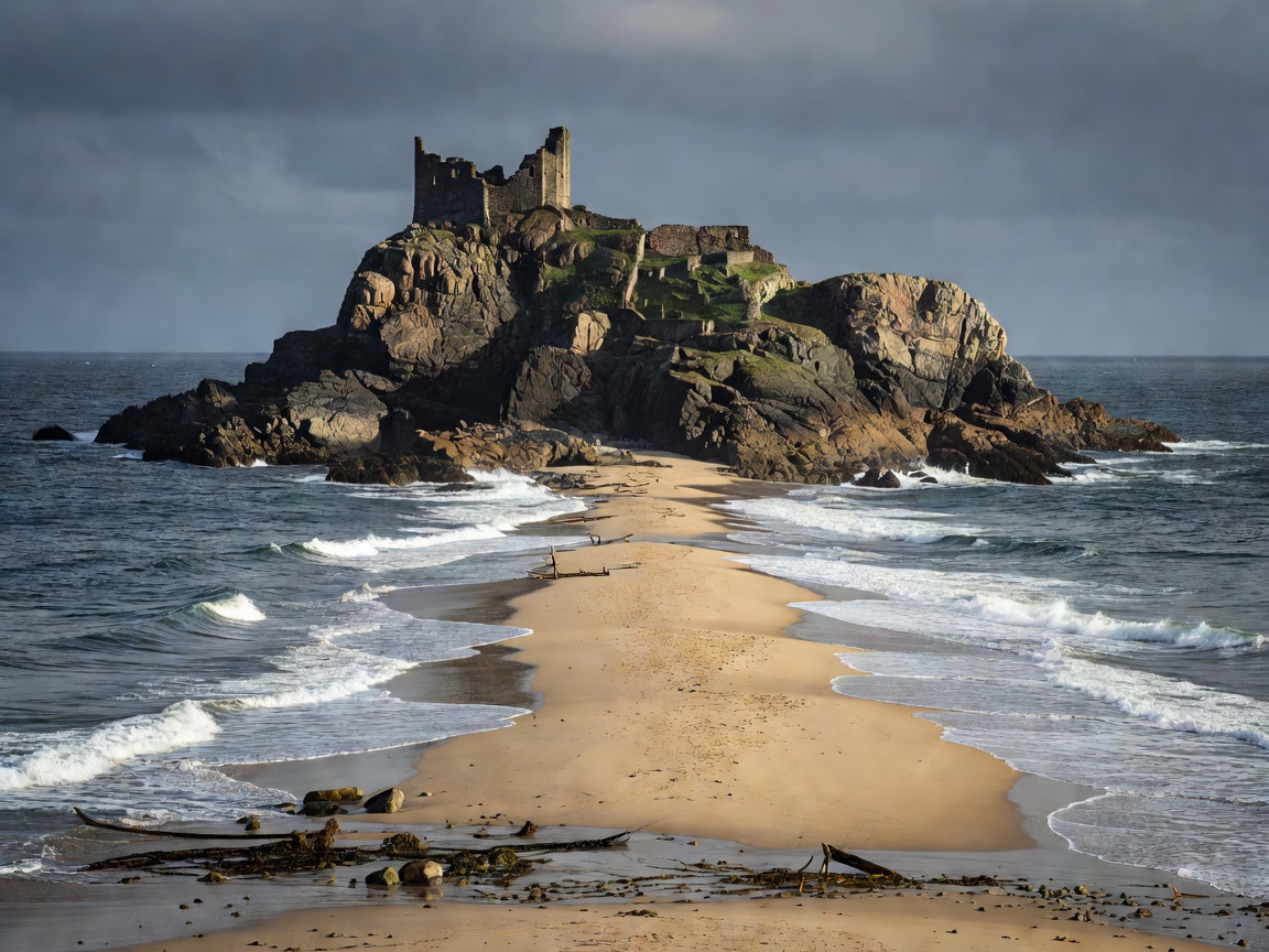
An Island Turned Peninsula: The 1934 Storm
For over four centuries, Peñón de Vélez de la Gomera was a rocky island garrison fortress held by Spain off the coast of North Africa, situated roughly 120 km southeast of Ceuta. Captured by Spanish forces in 1508, it remained separated from the Moroccan mainland by a narrow sea channel of approximately 100 meters.
In 1934, a catastrophic Mediterranean thunderstorm washed immense deposits of sand into the channel, permanently creating a sandy isthmus (tombolo). In doing so, the storm physically fused the Spanish island to the Moroccan mainland, inadvertently creating the shortest single land border segment between any two sovereign nations on Earth: exactly 85 meters (279 feet) across the sand.
The Blue Rope Border
Unlike militarized borders with electrified barbed wire or high concrete barriers, the international boundary across the Peñón sandbar is famously demarked by a single thick blue marine mooring rope resting along the sand. On one side stands Moroccan territory; on the other, Spanish soldiers garrison the ancient fortress walls.
Spain maintains a detachment from the Spanish Army's Regular Regiments on the rock. The garrison is supplied exclusively by sea and helicopter, as there is no official border checkpoint or civilian crossing permitted across the 85-meter strip.
Geopolitical Context and Plazas de Soberanía
Peñón de Vélez de la Gomera is categorized under Spanish constitutional law as a plaza de soberanía menor (minor place of sovereignty). Along with the Alhucemas Islands and the Chafarinas Islands, it has remained under Spanish rule since the 16th century, predating the creation of modern Morocco, which continues to claim sovereignty over the territory.